

But because what they’d found was so large – a decades-old, approximately 15-feet-wide and 10-feet-tall painting of a map laden with informal hiking trails – it took them a bit to figure what exactly they’d uncovered. Fourteen years later, the massive, painted trail map that spans the trails of Mount Tamalpais State Park, Muir Woods National Monument and beyond, has been restored and installed on the outside side wall of Urban Remedy (the old locksmith shop) and Equator Coffees‘ commissary at 34 Miller Avenue facing the driveway opposite the former Balboa Café.
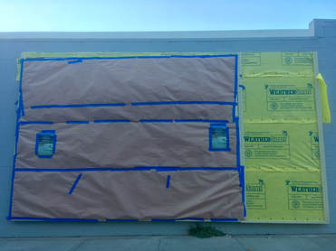 The historic painted trail map on the side of 34 Miller Ave. before its Oct. 20th unveiling.
According to Historical Society officials, the map was originally commissioned and painted in 1949 on the wooden side wall of Clark’s Grocery (which later became Old Mill Market, which was affectionately known as Thran’s) that stood across from Old Mill Park at the corner of Throckmorton Avenue and Old Mill Street. The commission stemmed from the fact that Norman D. Clark, the proprietor of Clark’s Grocery, got tired of answering questions and drawing crude maps to hikers who used Throckmorton Avenue to approach the mountain. Officials say he hired Walter Finn, custodian of Muir Woods National Monument, and Melville Whittaker, chief ranger of Mt. Tamalpais State Park, to help design an oversize map of the hiking trails on Mt. Tamalpais.
The map was visible on the west side of the building. But by 1960, the map had disappeared, having been covered by shingles. The market had changed hands many times, later becoming a fix-it shop.
When the map was discovered, members of the Historical Society got permission to remove it. They stored it in pieces for 14 years and painstakingly reassembled and restored it behind the leadership of board member and architect Jill Benton-Tardy. who contacted the master lease holder of 34 Miller Avenue, Helen Russell, co-founder & CEO of Equator Coffee.
Russell jumped on the opportunity and approved the installation of the historic map on the outside of the building. Longtime Mill Valley resident Guy Palmer, who regularly visited Clark’s as a child, installed the map.
Equator Coffee and Urban Remedy will be providing beverages and snacks at the event.
The 411: , Mill Valley Historical Society and City of Mill Valley officials are hosting a public unveiling and dedication of the 69-year-old, billboard-size Mt. Tamalpais Hikers Trail map. Historical Society board members will be joined by Mill Valley Mayor Stephanie Moulton-Peters and Councilmember Jessica Sloan to unveil the map, as seen above and at right in its pre-unveiled state.