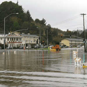
With about 40 miles of low-lying bay shoreline near homes and businesses, Marin is among the Bay Area counties most threatened by rising seas, county flood officials say.
“Even relatively small increases in the bay water levels will cause major flooding impacts,” said Roger Leventhal, an engineer with the Marin County Flood Control District.
That’s why Leventhal, Marin planners and environmental groups are applauding the San Francisco Bay Area Conservation and Development Commission for adopting a first-of-its-kind regional shoreline adaptation plan.
The playbook is designed to guide and coordinate how bayside communities, including those in Marin, protect their shores from the perils of the rising sea, which is swelling at an increasing rate.
According the commission, the state regulatory agency that oversees the bay, Marin County is facing about $17 billion in expenses to build adaptation projects, such as living shorelines, marshes and potentially seawalls and levees, to protect itself from inundation.
It will cost Bay Area counties $110 billion to protect themselves from the effects of about a foot of sea-level rise through 2050, the commission said.

