 In recent years, emergency preparedness measures have greatly expanded in the aftermath of devastating fires like the 2017 Tubbs Fire, which destroyed Southern Marin Fire District Deputy Chief Tom Welch’s home in Santa Rosa’s Coffey Park neighborhood and the horrific Camp Fire in 2018 that killed 86 people, displaced tens of thousands of people and destroyed nearly 19,000 buildings. It was the deadliest and most destructive fire in California history.
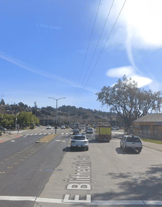
One of those measures saw now former Vice Mayor John McCauley stewing on ways to identify a data-driven evacuation plan that innovated beyond the significant constraint of having only two main arteries, East Blithedale and Miller avenues.
McCauley was able to connect to an ex-colleague at his former accounting firm – she’s now at Google – in the hopes of leveraging some of the brightest minds in the world to address the problem. At the time, McCauley said he’d been a “gentle pest” in the years since and got connected to the Google Research group, whose members agreed to build a simulation – a “massive model” – of the City of Mill Valley’s 6,000 households and those in its surrounding unincorporated areas, “down to the street level, making some assumptions about how cars leave in an evacuation,” he said.
On Monday, October 16 at 5:30pm available live and via webcast at the Mill Valley City Council meeting, city officials will unveil the recent findings of an important study on evacuation planning that stems from a groundbreaking partnership with Google Research to prepare for escalating wildfire threats.
“We know that wildfire is a substantial risk to Mill Valley, both in property damage and possible loss of life,” former mayor McCauley said. “With our partnership with Google Research, Mill Valley is harnessing cutting-edge simulations to tackle the issue head-on.”
“The Mill Valley evacuation study underscores the importance of collaboration between technology and local communities,” said John Anderson, research scientist at Google Research. “We’re grateful for the opportunity to work alongside city officials, applying our research to enhance emergency response strategies and protect residents in times of crisis.”
The study’s findings demonstrated the remarkable impact of directing evacuees towards a less-frequented on-ramp at Hamilton Drive, slashing evacuation time by almost 2 hours. Additionally, researchers found that encouraging residents to evacuate with only one vehicle significantly expedited the process, prompting City officials to revamp evacuation routes, strategically maximizing ramp utilization and reducing overall evacuation time.
“This new plan makes Mill Valley safer, and we ask that residents take only one car and grab a neighbor if you can,” McCauley continued. “Our key message is: Take one car, save the lives of those behind you.”
Researchers took a comprehensive approach to the simulation, encompassing 11,400 households spanning Mill Valley and Marin County, all located to the west of Highway 101. The study explored a range of evacuation scenarios, involving 11,400 to 22,800 vehicles, while making use of real road data and accounting for actual traffic interactions. The simulation assumed that the majority of cars would be in motion within the initial 45 minutes of an evacuation, with the simulation ending for each vehicle after it enters one of the on ramps and progresses on Highway 101.
The City also explored using Community Refuge Areas (CRAs), including Bayfront Park and Tamalpais High School, for vehicle evacuation during emergencies. Defined by minimal vegetation and expanses of paved or well-irrigated, manicured grass, CRAs offer residents a safer waiting area as a wildfire progresses. For instance, Bayfront Park and the baseball and football fields at Tamalpais High School can together accommodate approximately 4,000 closely-parked vehicles, allowing for quicker relocation from hillside areas to the safer, lower sections of Mill Valley.
“We want to thank Google Research for their partnership on this significant project,” City Manager Todd Cusimano said. “As wildfire risks continue to rise due to extreme drought and weather events, these evacuation planning insights are vital to safeguard Mill Valley residents.”

