
Sea Levels Are Rising. This Marsh Could Save Marin from Drowning
As a wetland erodes, Marin is losing its first line of defense against flooding. Now the county has a plan to save it.
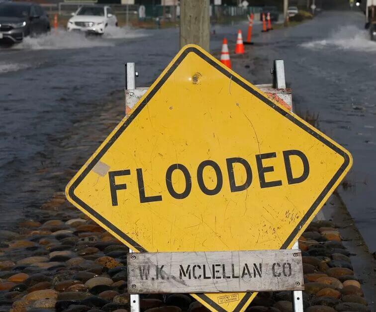
Mill Valley business owner Liz Fiedler knew the water was coming. On a stormy day in December 2024, the rising tide in Marin County’s Richardson Bay breached the levee at Tam Junction and erupted through a drain in the parking lot. Despite her efforts to stave it off, eight inches of brackish water entered her restaurant.
“It was a nightmare,” said Fiedler, owner of The Junction Beer Garden, known for its brick-oven pizzas, microbrew selection, and outdoor patio that hosts local bands. Cleaning up the water damage cost $5,000.
The gradual creep of the Bay Area’s rising sea levels is most visible and disruptive in Southern Marin County. Dozens of times each year, king tides — the highest tides of the year — flood the shoreline around Bothin Marsh Preserve, inundating roads and bike paths. Over the past several decades, the flooding has damaged businesses and homes(opens in new tab) with increasing frequency. Flooding in January caused $4.35 million in infrastructure damage, according to a Marin County spokesperson.
The 100-acre marsh runs roughly three-quarters of a mile along Richardson Bay from Tam Junction to Mill Valley. It’s a popular pitstop for migratory birds and a scenic waterfront passage for cyclists, with Mount Tamalpais rising in the background and a narrow finger of Richardson Bay stretching alongside the trail. But behind the beauty, the marsh is showing signs of faltering.
Laura Walsh, policy manager at the environmental nonprofit Save the Bay, considers Bothin Marsh an early warning sign of climate change and a glimpse into what may soon befall other Bay Area communities.
“We know the danger that is coming,” Walsh said, “and we get windows into that future every time we see major flooding.”
Since the Bay Area’s sea levels were first recorded at Fort Point in the 1850s, they’ve risen by about eight inches per century(opens in new tab), a rate expected to accelerate rapidly in the coming decades. Without intervention, the tidal flooding could reach 2,000 buildings and 18 miles of Marin roadway by 2050, a 2017 Marin County report(opens in new tab) estimated.
For more than a decade, One Tam(opens in new tab), an umbrella organization comprising county, state, and federal land management agencies, has been concocting a plan to fortify Bothin Marsh as a natural shield against rising seas.
While most Bay Area wetlands sit on a few feet of earth, much of Bothin Marsh is barely above sea level, which is why it floods so often. But wetlands across the Bay aren’t much higher and will soon be dealing with the same problems.
Robert LaPorte, a senior project manager with the Golden Gate National Parks Conservancy who is overseeing the adaptation project, called Bothin “the canary in the coal mine.”
When the bay invades
Five hundred feet down Highway 1 from The Junction Beer Garden, the surf shop Proof Lab flooded(opens in new tab) in January. Videos show a layer of brown liquid rising beneath racks of hoodies and trucker hats. Simultaneous king tides and heavy rainfall filled the building with six inches of water.
That volume of flooding is unusual, but the water doesn’t have to reach businesses to harm their bottom line. Even minor inundations of key roadways can disrupt traffic and make it difficult or impossible to get to Tam Junction. One particularly flood-prone zone is the Highway 1 off-ramp under Highway 101, which LaPorte says has gradually sunk for decades.